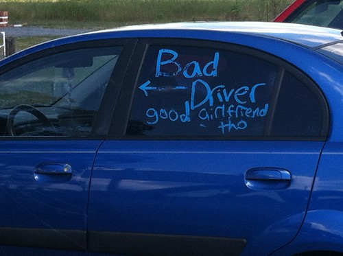
Via Thrillist
B’ Spokes: It would then stand to reason we should start to be on the look out for these:

😉

Biking in Baltimore
Via Thrillist
B’ Spokes: It would then stand to reason we should start to be on the look out for these:
😉

Bicycle Transportation Alliance
Top obstacle to cycling was motorists do
not exercise caution around cyclists (84% of
respondents).
By Sarah Goodyear, The Atlantic Cities
…
What would it take to change that?
Clearly marked and fully separated bicycle infrastructure might help to do the trick. When survey subjects were shown images of brightly painted protected bike lanes, they had an overwhelmingly positive response. One picture of people riding bikes in a green-painted lane separated from cars by reflective poles got a favorable reaction from 90 percent of the people who saw it, all of whom were registered voters who own bikes but don’t regularly ride.
In contrast, a picture of a lane marked only by white stripes of paint, with cars encroaching from both sides, got an 87 percent negative reaction.


Guess which of these people prefer? Images courtesy of People for Bikes.
But the survey reveals the complexity of our emotional response to bicycling. When asked to evaluate a series of messages about reasons to ride bikes, 60 percent responded favorably to the idea that biking makes you feel happier, has significant health benefits, and saves money. The message that biking “is a safe option for everyone” and that safety increases with more riders and better bike lanes, got a favorable rating from only 47 percent of respondents.
…
That seems sort of obvious to Doug Gordon, who blogs at Brooklyn Spoke. “Look at the automobile industry,” he said in the report. “If they really wanted to appeal to people’s safety, they would show crash statistics, survival rates…. You don’t see that any more. You see the car parked in the driveway and the family playing catch.”
[B’ Spokes: Imagine an ad campaign “It’s easier to die in your car in a crash than win the Maryland lottery.” Car ads are designed to sell anything but the horrors of rush hour traffic. Every day on the news, car crashes scattered all over the city and yet people think cycling is dangerous. :/
And Baltimore City please take note, the picture of the bike lane with a 87% negative reaction is a lot better then bike lanes we have been getting. Please, please something better now and then, especially on critical trunk routes.]
A motorists moving violation includes 2 hours of community service as a crosswalk guard.
Via Alliance for Biking and Walking webinar.
"U.S. Bicycle Route 50 follows the established Chesapeake & Ohio (C&O) Canal National Historical Park through Maryland. Located along the north bank of the Potomac River, the 184.5-mile canal towpath originates in Washington, D.C., then arrives in Cumberland, Md."
Read more: https://www.bicycletimesmag.com/content/new-us-bicycle-routes-approved-maryland-and-tennessee
By Aleks Buczkowski, geoawesomeness.com/
…
This year the New York City Department of Transportation (DOT) prepared something for them and for us – a new program of pedestrian maps called WalkNYC. ‘The other people’ will get a new set of city maps that will make it easier to navigate the city streets and find nearby interesting places. What we will get are beautiful maps that are a combination of cartography, great design and well-thought-out user experience.
The maps are designed to encourage people to walk, bike and use public transit, and feature all local streets and major landmarks and destinations, as well as bike lanes. Kiosks displays a large map of the streets with a 5-minute walking distance marked as ring, and another map showing the area in relation to a larger section of the city. This is cool but we’ve seen it on many city maps.
But there is one feature which corresponds to the experience of mobile maps rather than old school analogue cartography… The orientation of the maps! WalkNYC uses heads-up orientation rather than north arrow which is one of traditional mapping dogmas. This mean that the orientation of the map corresponds with the direction the user is facing. This is a smartphone-like approach but I love it and it actually makes a lot of sense (similarly to mobile maps).
…
https://geoawesomeness.com/somewhere-design-cartography-new-pedestrian-maps-ny/